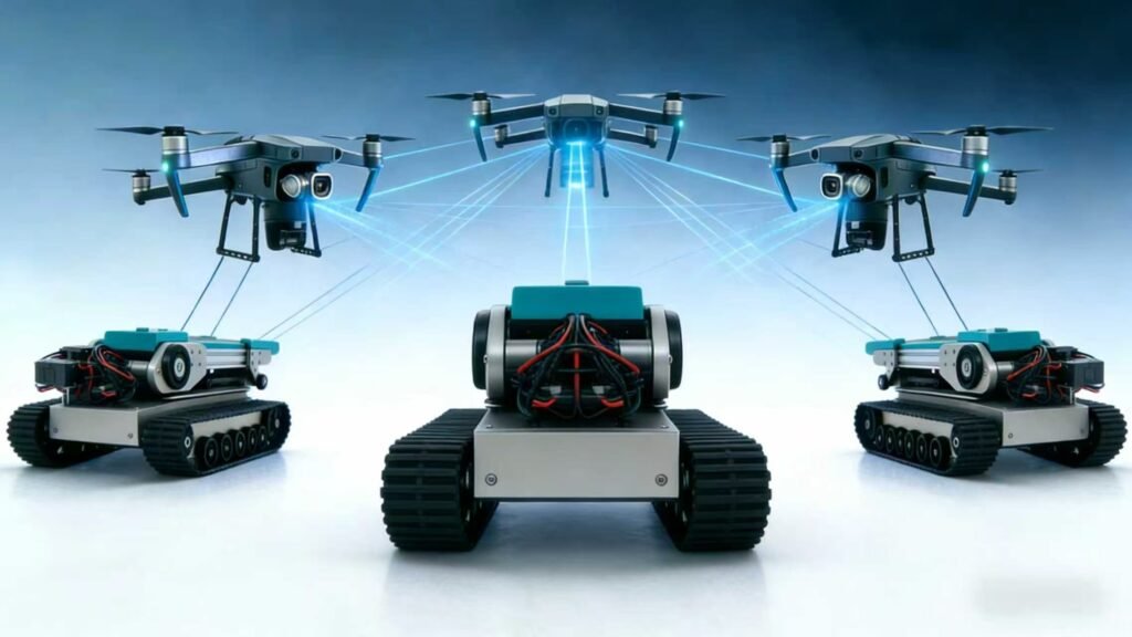
Our Integrated Solution
Find | Decide | Rescue : Combining Drones, ATVs, and an AIoT Mesh Network into an integrated rescue solution.
Integrated Rescue Solution Working Principle
CoordinAID’s Integrated Rescue Solution seamlessly connects drones and ground vehicles for efficient data collection, victim detection, safe and efficient victim transport, and optimized route planning.
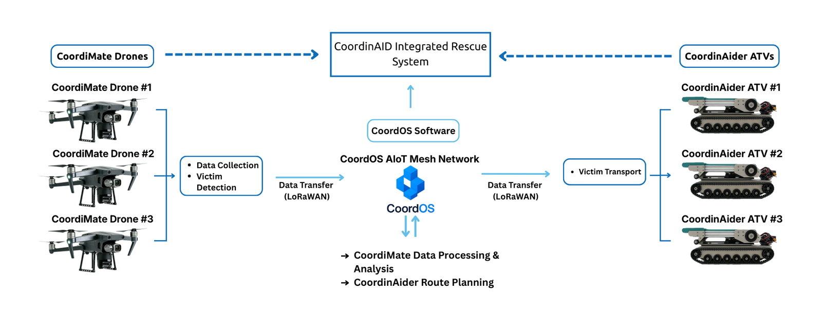
Diagram showcasing how CoordOS enables CoordiMate Drones and CoordinAider ATVs to work together to enhance data collection, victim assistance, and route optimization for efficient emergency responses
One System, Three Capabilities
Each module is powerful alone, but designed to unlock its full value only when connected to the others through CoordOS.
CoordiMate – Multi-Purpose Drone
A multi-purpose drone capable of fast victim detection and location scanning.
- Automated victim search
- Life detecting sensors
- Thermal imaging camera
- LiDAR mapping capabilities
- Real-time alerts
CoordinAider – All-Terrain Vehicle
A modernized vehicle to safely and efficiently rescue and transport victims.
- Rugged terrain compatibility
- Comfortable stretcher
- Electric motors
- Patient loading system
- Suspension mechanism
CoordOS – AIoT Mesh Network
Seamless integration of the entire rescue system through an AIoT mesh network.
- Interconnection of all devices
- Continuous data transfer and data collection from different devices using LoRaWan
- Monitors rescue operation progress efficiently
- Processing server for machine learning tasks